


Burn scar continues to thrive
By Lyndsie Ferrell
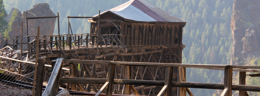
CREEDE- Three years ago, the Rio Grande and San Juan Mountain range was ravaged by flames that ended up burneding over 1009,000 acres. of trees. The communities affected by the fire have found stability in partnerships and by working together, have risen from the flames. The West Fork Fire Complex consisted of three separate fires started by lightning; the West Fork fire, Windy Pass fire and the Papoose Fire. This Complex affected the surrounding towns of South Fork, Creede, Del Norte, Lake City, and Pagosa Springs. The communities affected by the fire have found stability in partnerships and by working together.
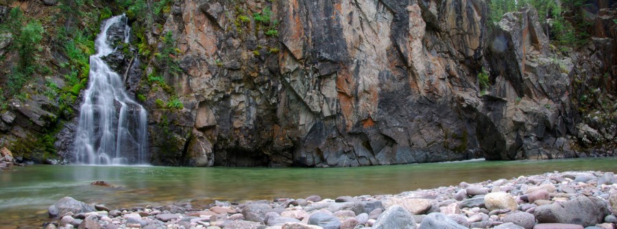
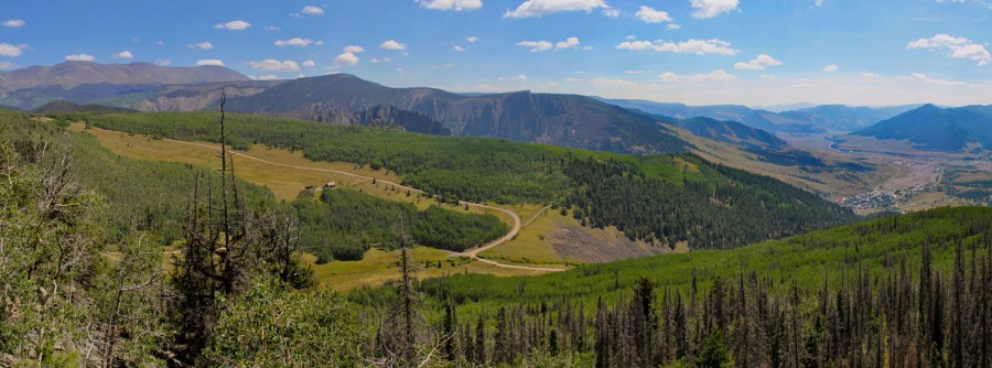
Green high elevation grass and shrubs are popping up from the charred soil. Small aspen stands are beginning to form and the ones from previous years are now almost four to five feet in height. Due to the high levels of precipitation the Valley and forests have seen this year, the wild flowers are were abundant and in their prime. Several visitors and residents of the area have mentioned seeing new species of plants or some ones they have not seen in years.
The forest has not seen any land “events” thus far this year, though they are happening in unoccupied areas. Members of the public and governmental agencies have seen some changes in the back country that have yet to affect the public or cause harm. Landslides have continued to occur in Trout Creek near Creede and some small slides in Hope Creek. Officials have emergency plans in place and are ready should an event occur near a populated area, but also feel the new growth on the forest floor will continue to stabilize the soil.
The Rio Grande Watershed Emergency Action Coordination Team, also known as RWEACT, recently released a soil stabilization summary report that shows growth in the experimental soil stabilization test plots currently being monitored. The test plots were installed in two locations within the burn area. Each location consists of five test plots with each plot receiving different treatments. Area one is on private land that is not grazed by cattle. Area two is on forest service land and is affected by grazing. The project was possible through the combined efforts of RWEACT and Rio Grande Headwaters Restoration project (RGHRP) and is showing signs of success.
In pictures provided in the study, it is apparent that the test sights are responding well to the soil stabilization treatments. The burn scar is recovering relatively quickly compared to estimated predictions made by several organizations directly connected to the recovery process. The organization reported that areas that received seeding are showing signs of increased vegetation that the plots used for control in the experiment. The area is stabilizing and minimizing soil erosion through the project.
Colorado Wildlife Federation representative Ashley Rust has been in the area for the past two years studying the affects the fire has had on local wildlife, aquatic and insect life, as well as water quality in the tributaries leading to the Rio Grande River. Rust has reported her findings one year after the fire stating, “Most of the damage and fish kills were happening in tributaries surrounded by the burn scar.”
With the help of Professor Terri Hogue and Jackie Randell from the Colorado School of Mines, probes were placed in and around the burn scar to help monitor turbidity within the streams. Officials have reported that it can take up to ten years for an area and its inhabitants to recover from a wildfire. Rust reported that though the streams in and around the burn scar are being affected by high levels of sediment in the water, the Rio Grande River and its inhabitants are both in great shape. Rust and her crew plan to continue monitoring both the main streams and tributaries of the Rio and hope to expand monitoring capabilities to include temperatures, which will aid in future research. The information provided by five of the water quality sensors can be seen online at www.dwr.state.co.us
While beautiful in a tragic way, the burn scar remains very dangerous. Visitors to the area need to heed the warnings issued by local officials. The damaged trees present a risk of falling debris and the area should be avoided on windy days. If venturing to the area, guests should prepare for the worst, being stranded. Events of falling trees and debris could close off access roads and Guests should also venture to the area prepared to become stranded, should such an event ever occur. Mmost roads leading into the area are limited and may be the only way in and out. Be safe, be aware and enjoy mother natureMother Nature. at her finest.


